
Capture Every Angle With Professional Drone Media
360 Photo Shoots delivers cinematic drone videos and crisp aerial photos that showcase your property from every angle, helping you attract more qualified leads, stand out online, and tell a compelling visual story.
Service Areas: Los Angeles County, Ventura County, Riverside County, Santa Barbara County
Elevate Your Property Marketing With Professional Drone Media
High-impact drone photography and cinematic aerial video give buyers and renters a true sense of your property’s scale, location, and amenities, helping your listings stand out, get more clicks, and convert faster.
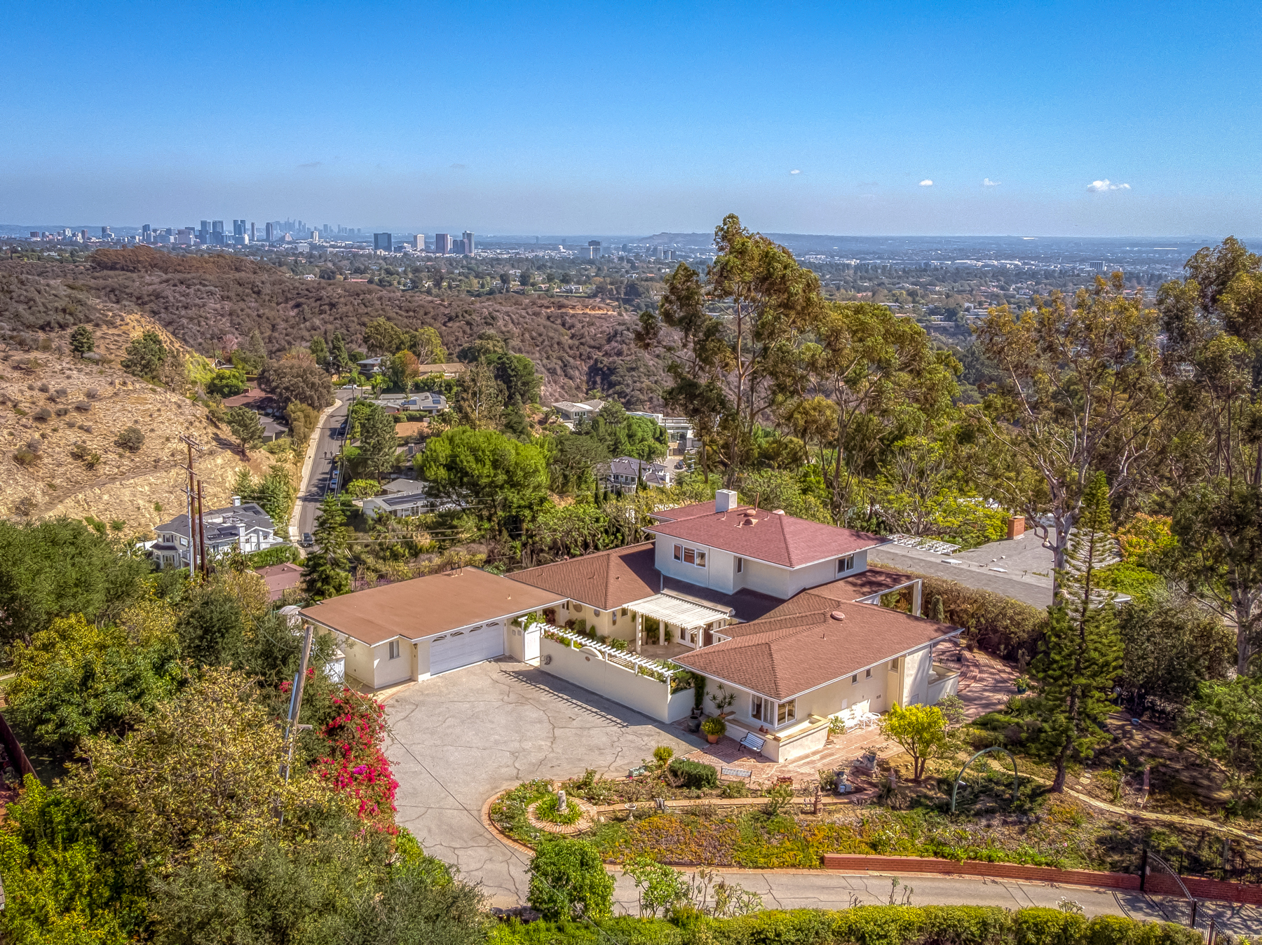
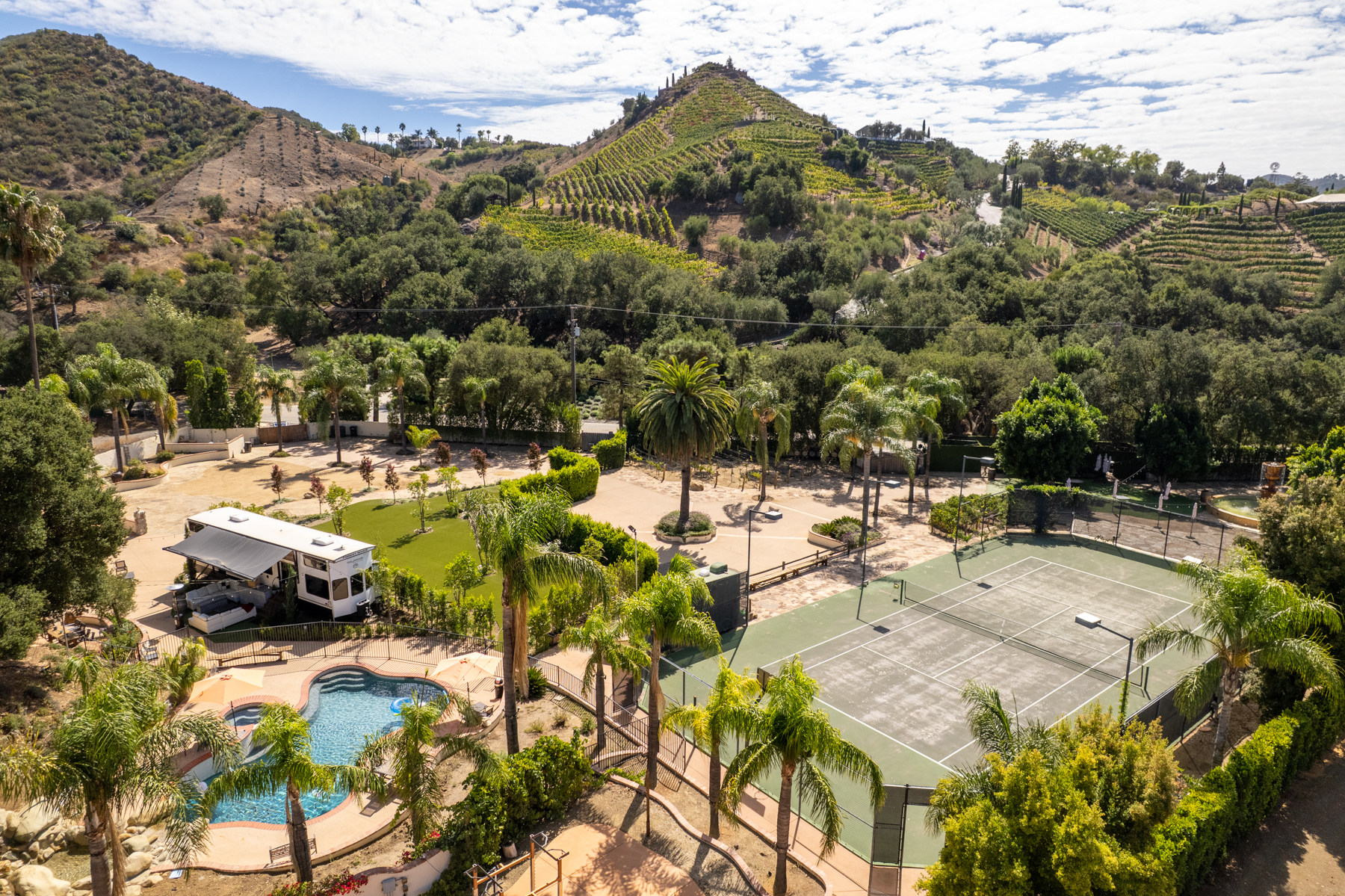
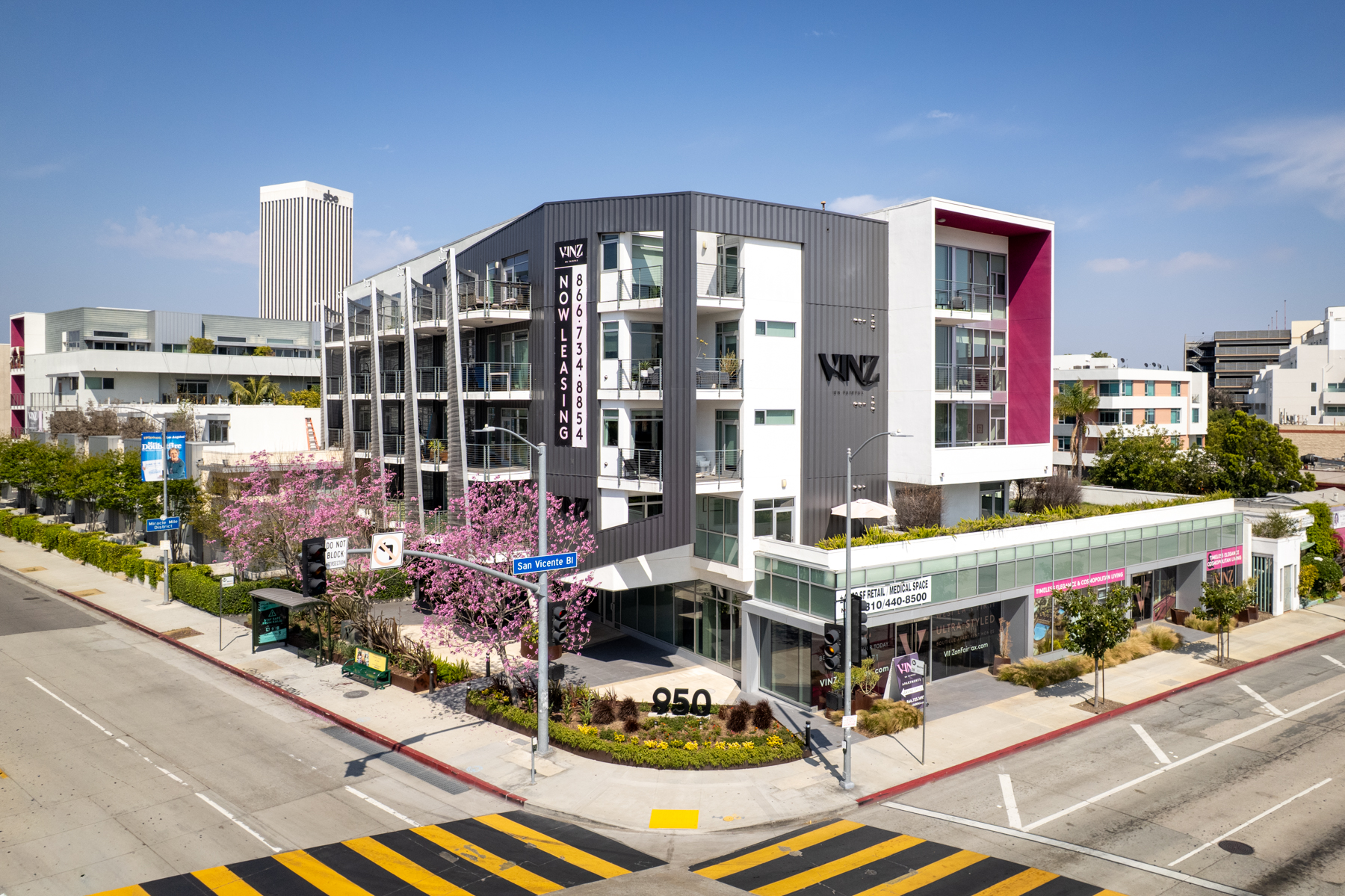
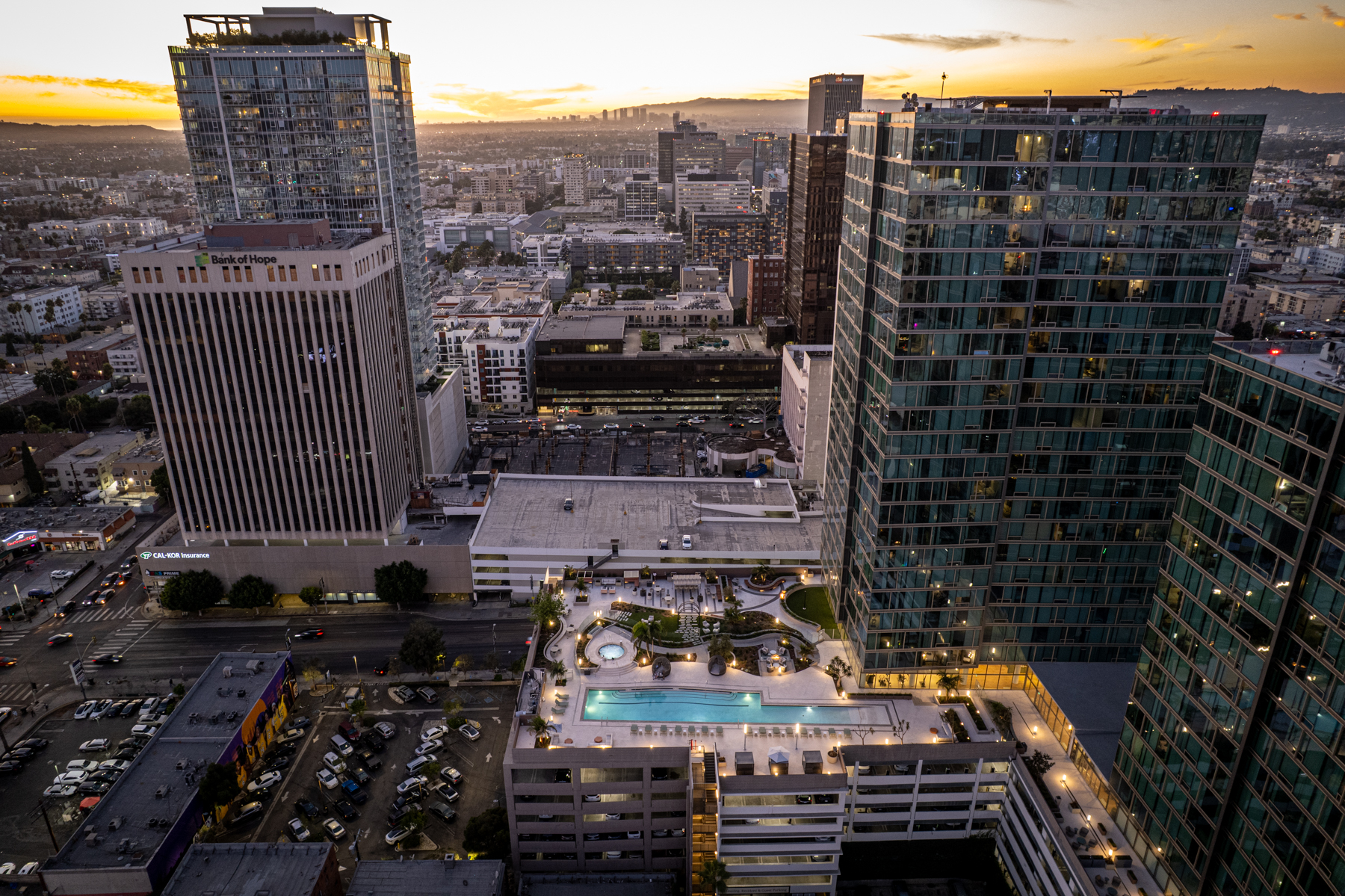
Aerial Property Photos
High-quality drone images that capture your property from multiple angles, perfect for listings, brochures, and presentations.
Cinematic Drone Videos
Dynamic aerial video tours that tell the story of your property and drive more inquiries and showings.
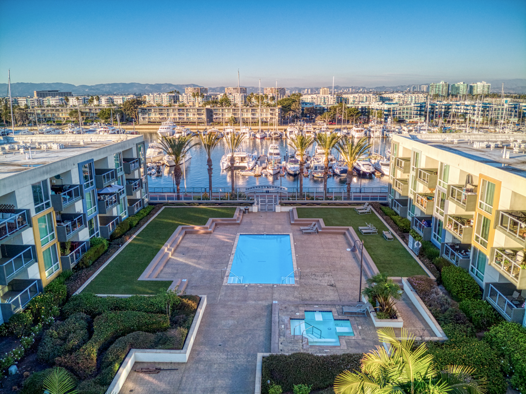
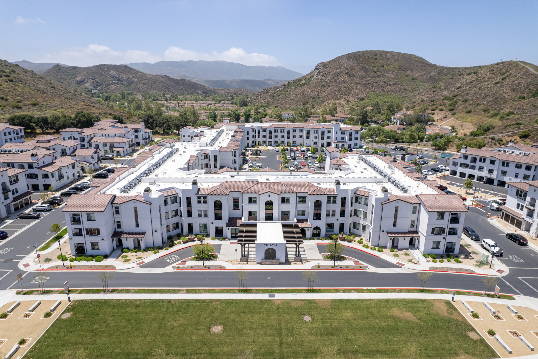
Community & Location Views
Wide aerial shots that showcase nearby amenities, access routes, and neighborhood appeal to add context for buyers.
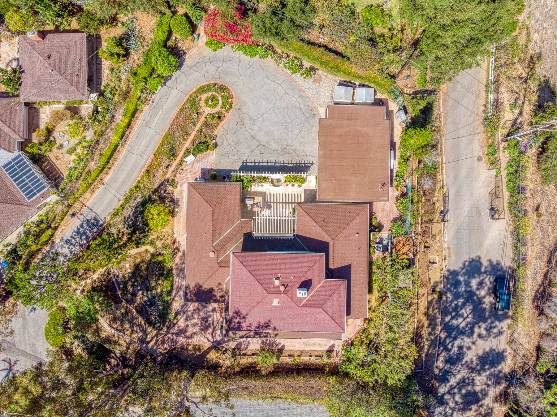
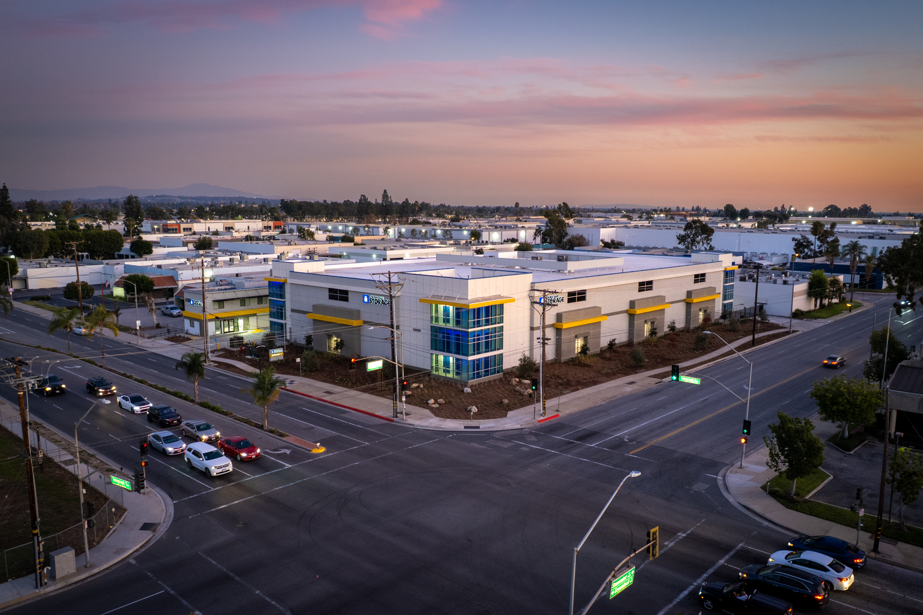
Roof & Site Overviews
Top-down drone views ideal for showing parking, access points, roof conditions, and overall site layout.
Construction Progress Flights
Repeatable drone shoots that document each phase of construction for reporting, marketing, and investor updates.
Social Media Drone Clips
Short, attention-grabbing aerial clips formatted for social platforms to boost engagement and brand visibility.
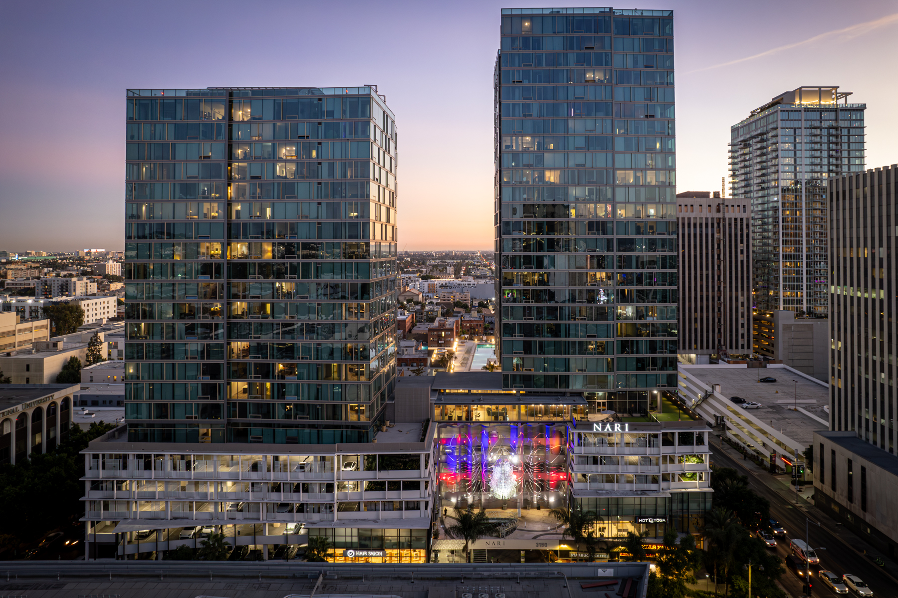
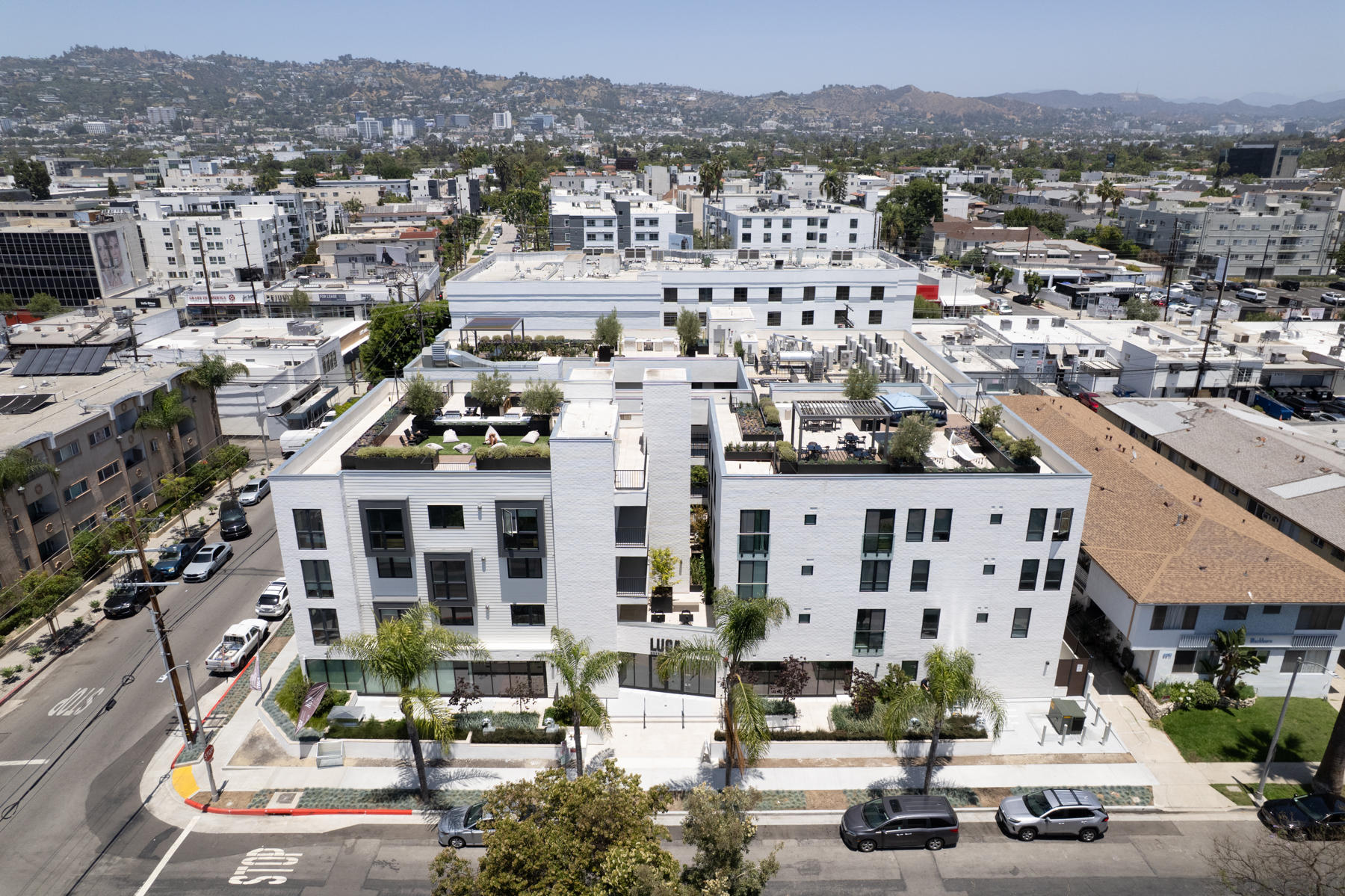
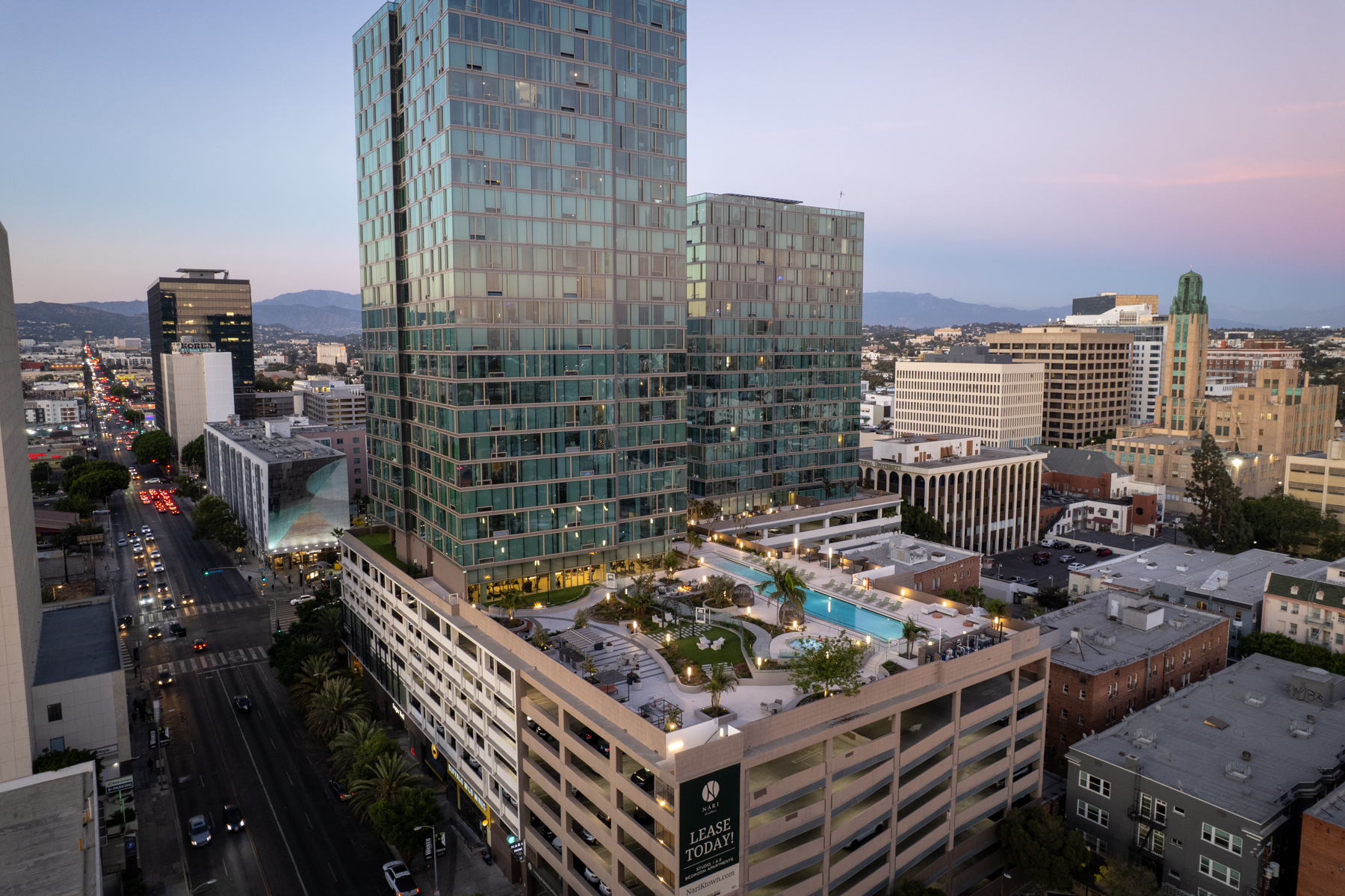
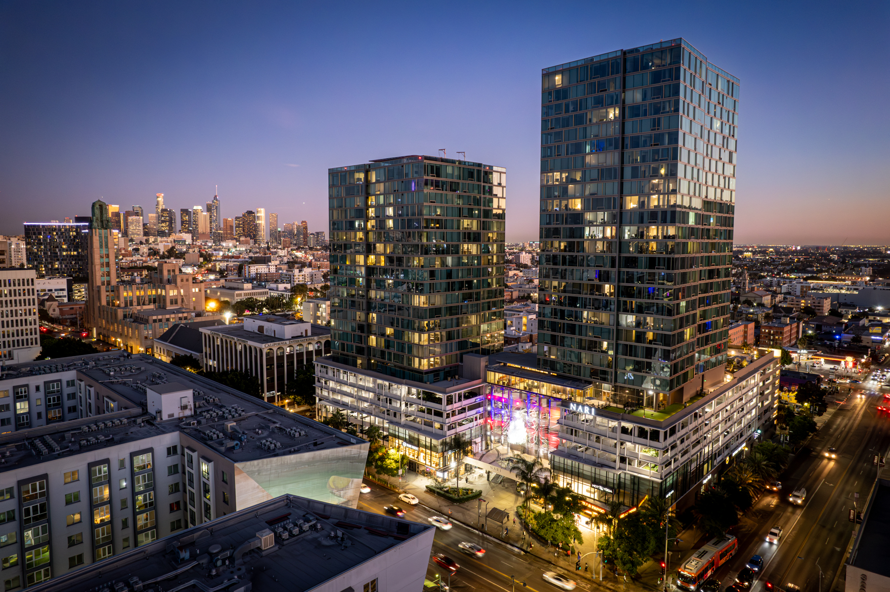
High-End Drone Imagery & Video for Multifamily, Hospitality, & More...
Capturing high-end properties with precision & artistic vision
View our portfolio
Whether you are marketing a new lease-up, refreshing an existing community, or promoting a vacation rental, 360 Photo Shoots provides curated photo coverage for every angle of your property. Our goal is simple: deliver visuals that increase clicks, tours, and signed leases.
Take a look at the properties we’ve helped lease and sell with high-impact drone photography & videography.
Frequently Ask Questions
What types of drone projects do you offer?
I offer aerial photography, cinematic drone videos, 3D mapping and orthomosaic imagery, construction progress flights, roof and site overviews, and short social clips tailored for real estate and commercial properties.
Are you licensed and insured for drone work?
Yes, all drone flights are operated by an FAA-licensed drone pilot and covered by liability insurance to meet property management and ownership requirements.
How do you price drone photography and videography?
Pricing is based on property size, project scope, and deliverables (photo-only, video-only, or combo packages), and I’m happy to provide a custom quote for your specific project.
What is the typical turnaround time for drone media?
Most projects are delivered within 2–4 business days, including basic editing and color correction, with rush options available when timelines are tight.
What deliverables will I receive from a drone shoot?
You’ll receive high-resolution JPG images and/or edited video files optimized for web, MLS, and social media, with download links you can easily share with your team.
Can you fly at my property with nearby airports or restrictions?
Before every shoot I review local airspace, no-fly zones, and any special requirements, and I’ll let you know if waivers or adjustments to the flight plan are needed.
Do you travel outside of Los Angeles and Ventura counties for drone projects?
Yes, I regularly travel throughout Southern California, including Riverside and Santa Barbara counties, with reasonable travel fees for more distant locations.
What happens if the weather is bad on the shoot day?
If wind, rain, or poor visibility make flying unsafe or low quality, we’ll reschedule your drone shoot to the next available date at no additional charge.
How should I prepare my property for the photoshoot?
Preparation is crucial for stunning results! We provide a detailed Property Prep Checklist with every booking, covering everything from decluttering and cleaning to lighting and staging. The better prepared your property is, the more impressive your final images will be.
Can you show large multifamily or multi-building properties with drone media?
Yes, drone photography and video are ideal for large communities, resorts, and campuses, allowing us to capture scale, layout, and amenities in a single cohesive visual story.